Thank you!
Your support is sustaining the future of local news in our communities.

Amenia hears revisions to Keane Stud subdivision plan

Amenia hears revisions to Keane Stud subdivision plan
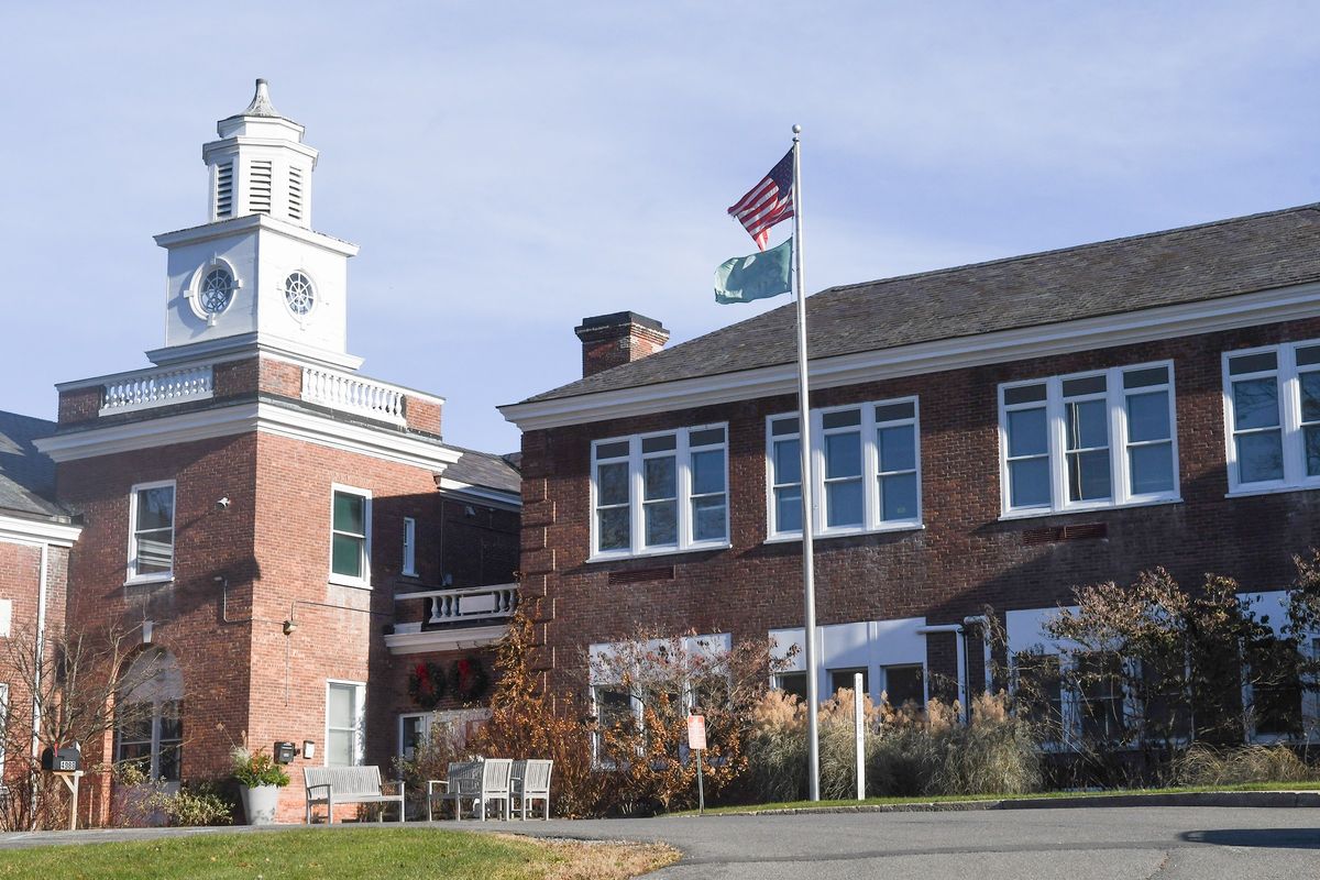
Amenia Town Hall on Route 22.
Photo by John Coston

AMENIA — Continuing the process of developing subdivision plans for the Keane Stud acreage, the Planning Board heard a report from the planning engineers detailing a few plan changes at its regular meeting on Wednesday, April 9.

Representing Rennia Engineers, Senior Planner Peter Sander detailed plans for the parcel that stands in two zones: Rural Agricultural and Rural Residential, both requiring minimum lots of 5 acres.

Sander reported that two parcels have been removed from the planning, reducing the acreage from 704 to 605 total acres. The number of lots has been reduced from 27 to 23.

“We’ve enhanced the building envelopes,” Sander noted, having considered concerns about protecting the viewshed. Accordingly, 90% of each parcel will be reserved for conservation; 10% will be able to be built upon, Sander said.

The plans include a no vertical build zone in the area visible from Delavergne Hill, Sander said, adding that deed restrictions will limit the scale of development on each parcel.

Commenting on the plan changes, planning board engineer John Andrews asked that the plan drawings detail the outlined changes to agree with written submissions.

Sander said that the developer is asking for board input as well as comments from George Janes, the town’s visual resources consultant.

One of the visible impacts is the greenery or vegetative screening around each future home, board member Jamie Vitiello commented.

Covenant requirements are important in each instance, Andrews responded, citing lighting, building materials, and plantings that can be specified.

“The visuals flow from the deed restrictions,” Andrews said, noting that each building site plan will need to be considered by the planning board.

Board member Ken Topolsky asked about the permanence of the deed restrictions.

Andrews replied that when properly done, the restrictions run with the land, unless there are agreed-upon amendments. He added that the town will be a party to any such agreement.

“We want to listen to the Planning Board,” said owner-developer Juan Torres. He added that a footprint guide has been sketched on the plans for each future home with the height of each home restricted to between 21 and 28 feet, a protection against visibility. Plans have also specified a maximum amount of impervious surface on each sketched lot.

“If a future buyer wants to build a home, they will need to come before the Planning Board,” Torres noted. “This will help to ensure that the land remains agricultural into the future,” Torres added.

The Planning Board will continue discussion of the revised plans at its next meeting on Wednesday, April 23.

Latest News

Firefighters’ Fourth of July

Firefighters’ Fourth of July
Photo by Nathan Miller

The Amenia Fire Co.’s Fourth of July parade, fair and fireworks extravaganza drew a crowd of over 100 people to enjoy hamburgers, hot dogs, peppers, fried dough and a fireworks display that carried on despite heavy rain.

Keep ReadingShow less
Millerton gets ready for 175th anniversary celebration

The Millerton 175th Anniversary Committee's logo.

Illustration Courtesy Village of Millerton

MILLERTON — Months of planning will culminate this weekend as Millerton kicks off nine days of events celebrating the village’s 175th anniversary, with festivities running from July 11 through July 19.

Lisa Hermann, a veteran festival organizer who has been leading the planning effort for Millerton 175, said the process intensified this year as the July start date crept closer.

Keep ReadingShow less
Dover Stone Church reopened to the public

The public entrance to the Dover Stone Church hiking trail sits on Thomas Whalen’s property along Route 22 in Dover Plains.

Photo by Lucia Iandolo

DOVER PLAINS — Dover Plains resident Thomas Whalen has reached a final settlement with the town to permanently restore public access to the Dover Stone Church hiking trail.

Whalen, who owns the property containing the only entrance to the trail, barred hikers from his land in March 2026 amid a dispute with the town over maintenance costs and safety. The closure came after the town’s license to use the trailhead — granted under a September 2024 settlement agreement, which also included a financial settlement — lapsed in October 2025 without being renewed.

Keep ReadingShow less
google preferred source

Want more of our stories on Google? Click here to make us a Preferred Source.

Solar farm project ordered to obtain Copake flood plain construction permit
Farmland vista where the proposed 42 megawatt Shepherd’s Run Solar Farm is planned along Route 23 at the entryway to the rural hamlet of Copake.
Photo by John Coston

COPAKE — New York State has ruled that a proposed commercial solar farm in Copake cannot move forward until its developer obtains a permit from the town to build in a flood zone.

The ruling affects Hecate Energy LLC’s proposed Shepherd’s Run Solar Farm, a 42-megawatt project that would occupy about 215 acres of a 723-acre site near the intersection of Routes 7 and 23 in Craryville. The Chicago-based company has spent years seeking state approval to build the facility, which has faced sustained opposition from the Town of Copake and local residents.

Keep ReadingShow less

Recovery continues after strongest storm to hit Northwest Corner in years

Recovery continues after strongest storm to hit Northwest Corner in years

An aerial view of the damage in downtown Salisbury, where a tree was uprooted in front of the Scoville Library.

Photo by Nathan Miller

Days after an extreme storm caught the Northwest Corner by surprise after an otherwise sunny Fourth of July, communities are still picking up the pieces as clean-up efforts persist. Blocked roads, downed trees and power lines, and widespread power and water outages continued to affect the region as of Monday, July 6. While more than 1,000 people in Salisbury remained without power Tuesday morning, businesses started to reopen.

Continued rain made clean-up efforts difficult as the week began, and some major roads remained partially blocked.

Keep ReadingShow less
Millbrook sidewalk improvement’s final phase awaits additional funding

A traffic cone draws attention to a sidewalk hazard along Franklin Avenue in Millbrook on July 4, 2026. The final phase of a sidewalk-improvement project for the north sidewalk on Franklin Avenue is expected to begin by the end of the summer.

Photo by Eloise Pickering

MILLBROOK — The final phase of a three year long sidewalk-improvement project on Franklin Avenue is slated to begin later this summer with funding almost in place.

The fourth and final stage covers the north side of Franklin Avenue from Friendly Lane to Front Street. According to Millbrook Mayor Peter Doro, the focal point of the project is to improve safety and compliance with the Americans with Disabilities Act. As of Tuesday morning, July 7, a detailed funding plan for the construction has yet to be announced.

Keep ReadingShow less
google preferred source

Want more of our stories on Google? Click here to make us a Preferred Source.

google preferred source

Want more of our stories on Google? Click here to make us a Preferred Source.