


Latest News


Want more of our stories on Google? Click here to make us a Preferred Source.
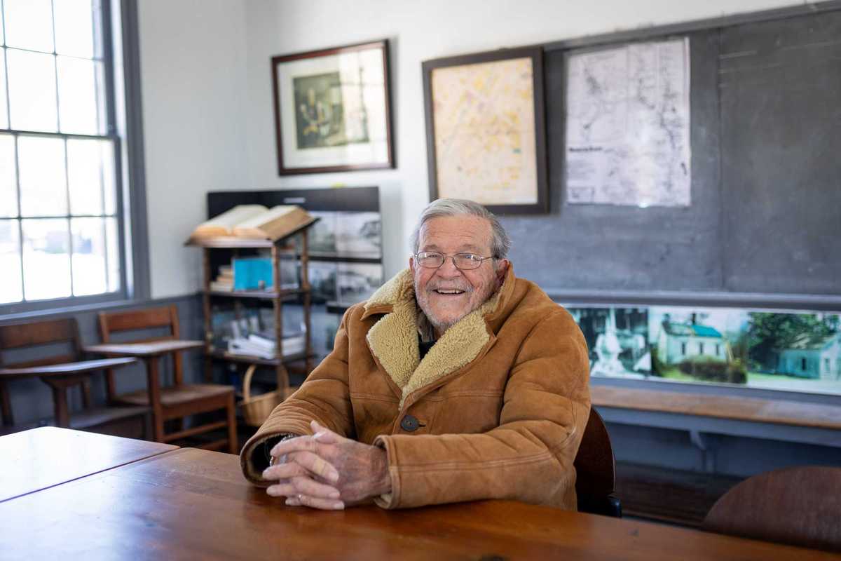
Ralph Fedele sits at a desk in the historic Irondale Schoolhouse, which he led the effort to relocate to downtown Millerton.
Aly Morrissey
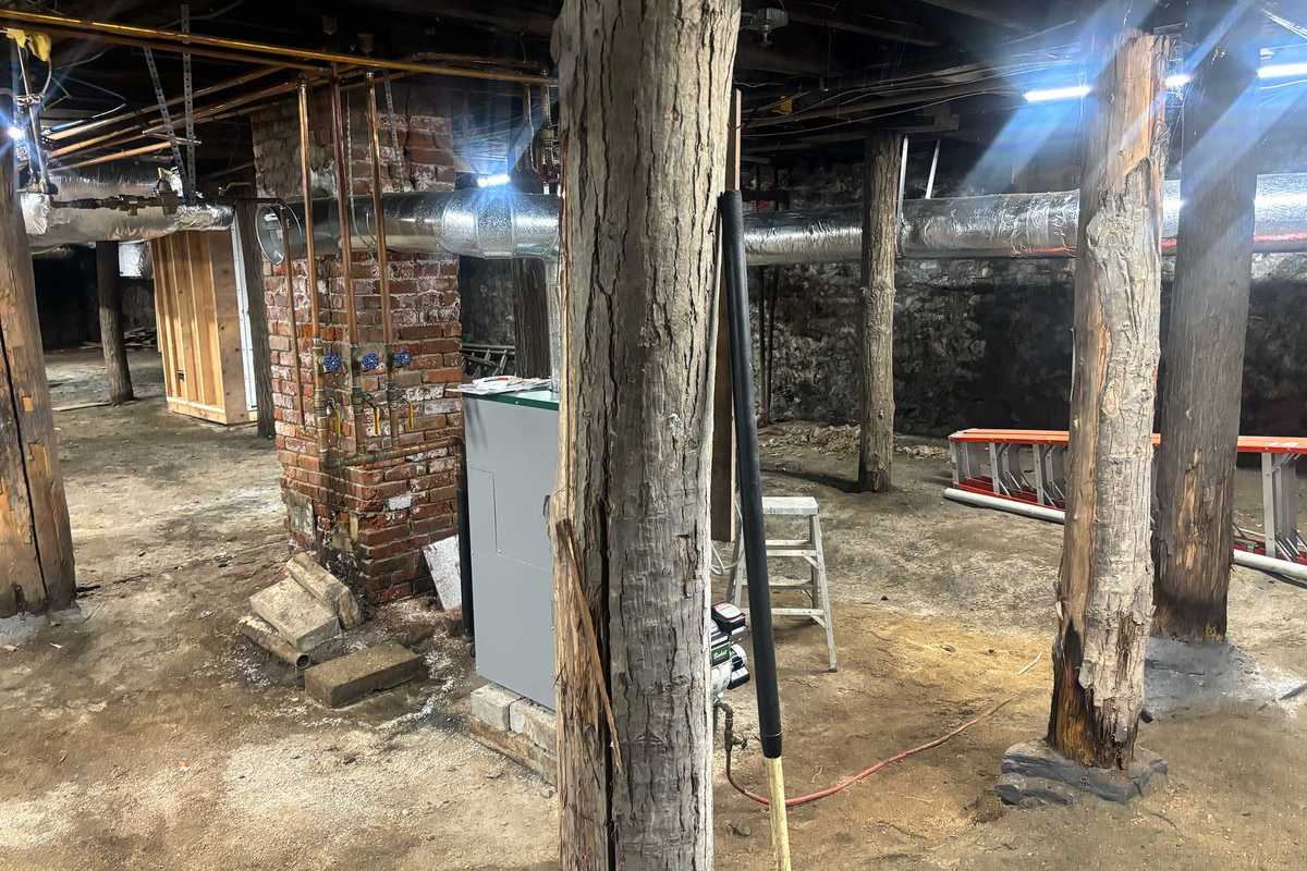
Starting in 2015, the building was disassembled and moved — piece-by-piece — thanks to the efforts of a local organization called the Friends of the Irondale Schoolhouse and a Millerton resident that has dedicated much of his life to the community and preserving local landmarks.
That man is Ralph Fedele, a revered figure in the community both for his efforts to restore, maintain and educate people about the former schoolhouse and for more than a decade serving on the North East Town Board.
Fedele moved to Millerton from New York City 37 years ago, in 1988, and has since worn many hats – volunteer, historian, advocate, elected official – yet he still doesn’t believe he’s earned that title.
“I’m a transplant,” he said matter of factly. “I’m from the city.”
Years after settling in Millerton full time, Fedele was driving north on Route 22 when he spotted an old, classic building and couldn’t stop thinking about it.
“It was in dire straits,” he recalled. “Right on the road, but beautiful. I remember thinking, ‘Wouldn’t that be a great building to move into the village?’”
That moment would eventually turn into Fedele’s lasting legacy.
Fedele joked that people may have thought he was crazy during the lengthy restoration. “I was a tyrant,” he said with a laugh. “I really made sure that we were able to get it done.” The effort required coordination with the state, the county, village and town officials, and his newly assembled nonprofit board.
As a self-proclaimed history buff, Fedele didn’t stop at the restoration. He found a list of students in old records and did what any determined historian would do. He opened the telephone book and started making calls.
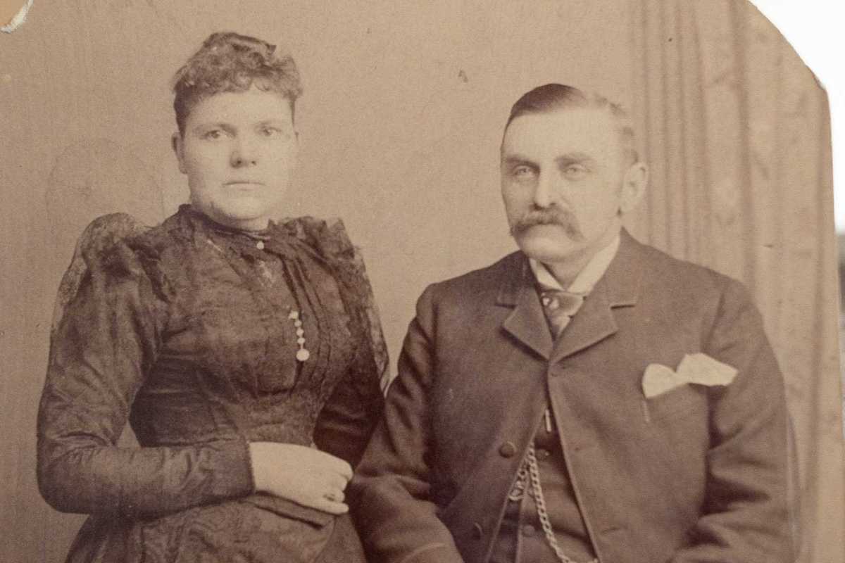
Eventually, he tracked down one of the schoolhouse’s original students – Mary (Mechare) Leitch – who, at the age of 101, returned to the building after renovations were complete.
“It was a marvelous time,” smiled Fedele. “I was so happy to see her.”
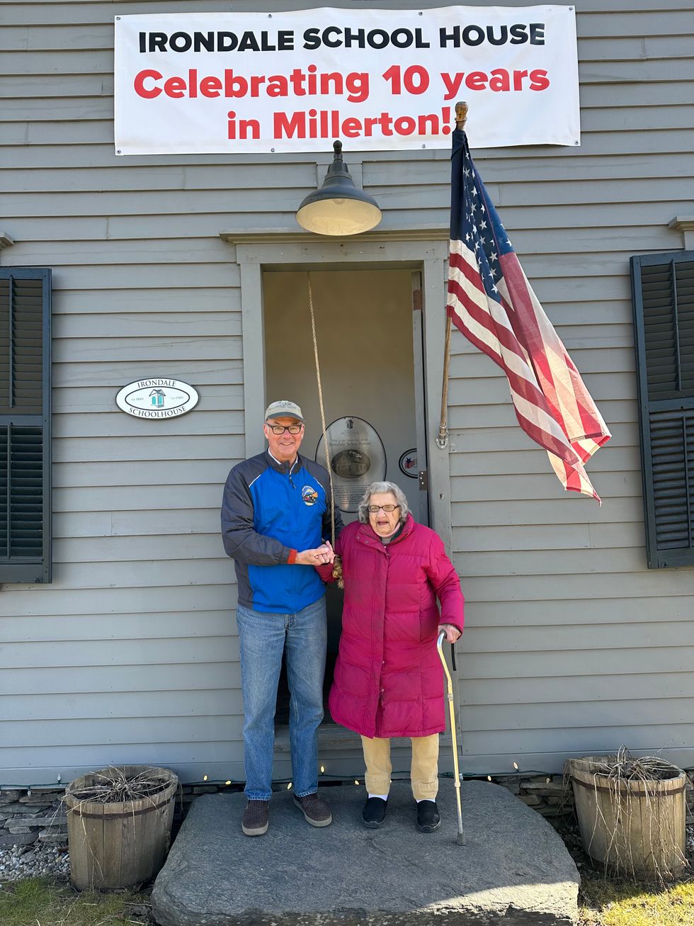 North East Town Supervisor Chris Kennan, left, and Mary Leitch, who was the last living Irondale Schoolhouse student until her death in 2025.Provided
Leitch died on Dec. 24, 2025, at the age of 103.
Leitch was born in Millerton in 1922 and grew up on Winchell Mountain in the hamlet of Irondale. Her early schooling was at Irondale’s 1858 one-room schoolhouse until it closed in 1930. She was proud of having been the last person to attend the school. From the third grade onward, she attended school in the Millerton school district.
“If you sit still, you will rust,” was a favorite Leitch saying, perhaps inspired by the Irondale district and the area’s iron industry.
Leitch delighted in the outdoors and in the company of animals and people, caring for many dogs—especially Jack Russells—and cherishing the horses that were part of her long, vibrant life. An avid sportswoman, she enjoyed deer hunting and fishing, keeping her licenses current right up until her passing. She was a longtime member of both the Jack Russell Club of America and the Dutchess County Professional Horsemen’s Association.
In 1958, she married William “Billy” Leitch of Millbrook, a professional horseman, sharing a love of the sporting life and enjoying active membership in the Millbrook Hunt Club. Billy pre-deceased her in 2015.
Want more of our stories on Google? Click here to make us a Preferred Source.