

Dear EarthTalk: What are the environmental pros and cons of so many of us relying on GPS apps (Waze, Google Maps, etc.) to get around these days?
— B. Rogers, Newark, N.J.
It’s hard to measure whether having GPS apps on our smartphones is positive or negative for the planet, but some environmentalists are skeptical. Indeed, the rise of Waze, Google Maps, Inrix and other apps that respond to live traffic data to reroute drivers accordingly — not to mention the concomitant proliferation of app-following Uber and Lyft drivers — has turned millions of formerly main-route-following drivers into sneaky shortcut seekers. Formerly quiet peaceful neighborhoods may never be the same again.
On the plus side, the widespread use of these apps saves drivers some time and may slightly reduce the amount of time we spend burning extra fuel idling in congested traffic. But the data on this is mixed and warrants further research.
While you may have gotten to work 3 minutes faster this morning, what was the cost? Neighborhoods everywhere are miffed at the proliferation of cars racing through formerly quiet back streets to circumvent traffic.
Research out of the University of California’s Institute of Transportation Studies (ITS) concludes while GPS apps are helping rivers get from point A to B faster, they are also making congestion worse overall. ITS’s traffic simulations show how freeway flow changes in response to an accident when no drivers use GPS apps versus when 20% of drivers use them. With more app-using drivers, congestion builds up at off-ramps and traffic on the highway slows. “The situation then gets much worse because hundreds of people want to go on side streets, which were never designed to handle the traffic,” says ITS Director Alexandre Bayen.
Critics of these apps blame the software designers — not us consumers trying to get to and from work or the grocery store — for the negative effects on traffic flows and neighborhood peace. To wit, later this year Google Maps will start routing drivers to the most fuel-efficient route — not necessarily the fastest — to reduce greenhouse gas emissions and save drivers money in fuel costs. If the greener route is significantly slower than another way, the app will give users the option to choose for themselves, but at least this move is a nod to how much greenhouse gas busting power a little bit of code on your phone can have to help save the planet.
EarthTalk® is produced by Roddy Scheer & Doug Moss for the 501(c)3 nonprofit EarthTalk. See more at www.emagazine.com. Send questions to question@earthtalk.org.


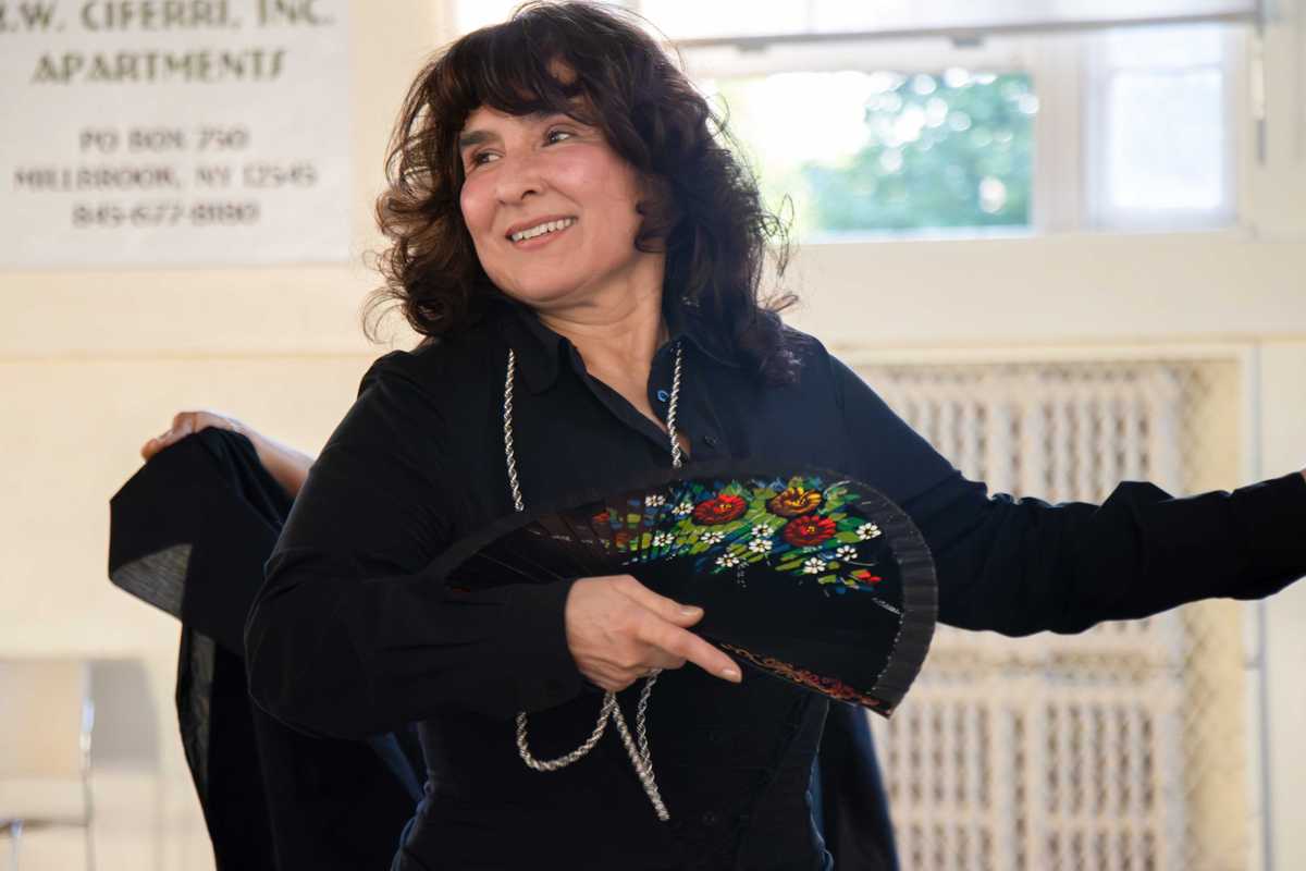
 Karina Powers and her students practice in Millbrook Hall.Lucia Iandolo
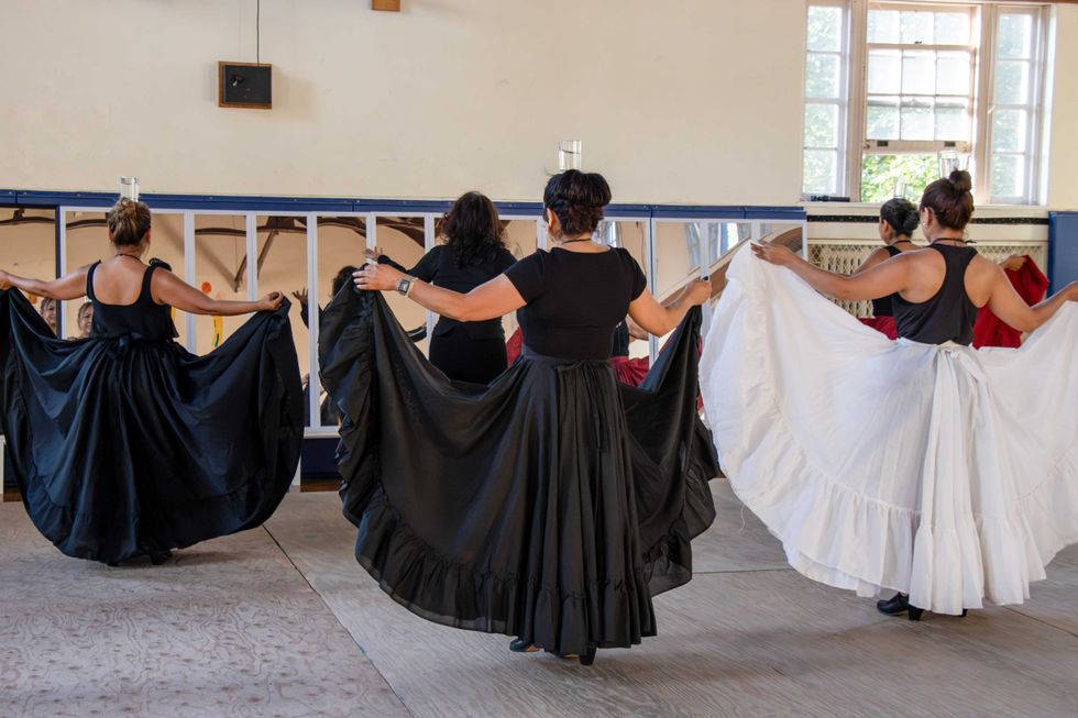

GPS driver apps get mixed reviews