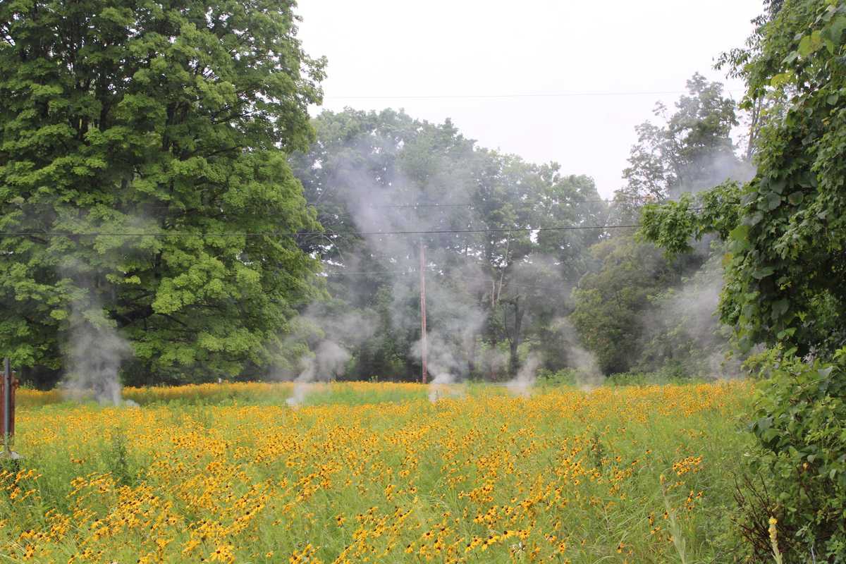
The worst of last week’s wildfire smoke cleared by the late weekend, though meteorologists say residents shouldn’t assume it’s gone for good as shifting weather patterns could carry smoke back into the region as powerful wildfires continue to burn in Canada and the northern Great Lakes region.
Air Quality Index readings across much of Connecticut consistently reached unhealthy to very unhealthy levels between Tuesday and Saturday, with the worst conditions affecting southern parts of the state.
According to the state Department of Energy and Environmental Protection, air quality across the state on Sunday returned to “Good to Moderate” levels, meaning prolonged outdoor exertion was safe for all but especially sensitive individuals.
Residents should enjoy the break from the haze, Bethel-based meteorologist Jack Drake said, but he cautioned that smoke could return if shifting winds carry it back into the region while the wildfires continue to burn.
“The position of these fires is a little unfortunate,” he said, “since a prevailing wind direction [for the region] is west-northwest.”
Because of the jet stream, a high-altitude ribbon of wind that steers weather systems across North America, smoke from summer fires in the Upper Midwest and western Ontario can be carried into the Mid-Atlantic and New England.
“It’s kind of right upstream,” he said.
Conditions were similar across New York State, with the Department of Environmental Conservation issuing warnings on Wednesday and Thursday about unhealthy atmospheric conditions.
DEC issued statewide health advisories on Wednesday, Thursday and Saturday, saying conditions in the Lower Hudson Valley, which includes Dutchess County, were unhealthy for sensitive groups.
A smoky haze dominated the sky in Millerton on Wednesday, but visibility returned to mostly normal by the weekend.









 Tiffany Lemelin, shelter manager, brushing Marsala upon arrival.Provided
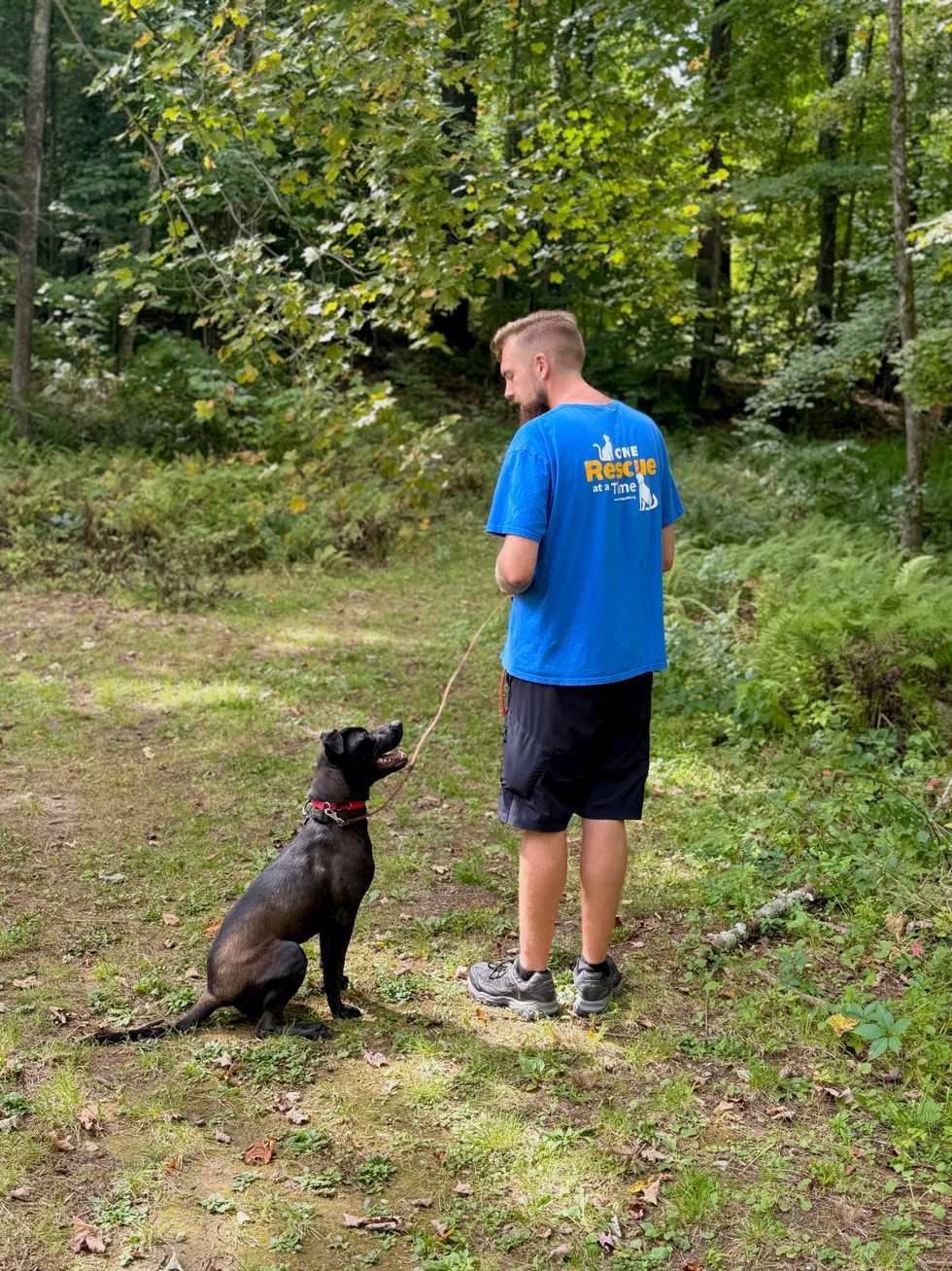 Michael DeBarba, certified dog trainer working with Marsala.Jennifer Almquist
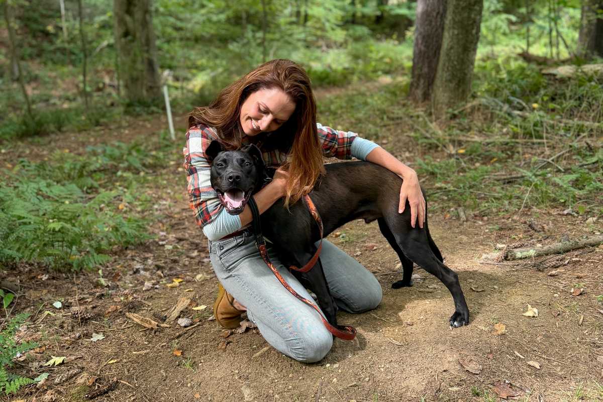 Marsala wins a heart.Jennifer Almquist
 Sadie, center, a Carolina dog, plays with her friend Negra, a terrier mix. Bella Linda, the small poodle, has since been adopted.L. Tomaino
 Wesley, a young, exuberant mix, is looking for an active home.L. Tomaino
 Bonnie and Clyde, an affectionate terrier pair.L. Tomaino