
Latest News


Want more of our stories on Google? Click here to make us a Preferred Source.
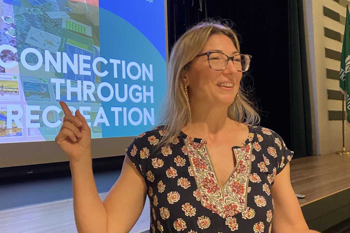
Artistic talent is on display at the Fountains’ Summer Art Show, which opened Thursday, June 11. The exhibition features works by several residents and drew a strong turnout of artists and guests, who were welcomed on opening day by art instructor Ellen O’Shea.
Photo By Leila Hawken
Resident Shirley Fernekes is one of the featured artists with several paintings on display, selected to show the breadth of her works over a lifetime. Included are depictions of wildlife, seascapes and New England scenes, reflective of her travels. She recalled beginning in acrylics before switching to her preference for oils and watercolors.
“I’ve always been painting…all my life,” Fernekes explained, having attended Wooster and Silvermine art academies for her studies.
Her work has brought several awards, including recognition by the Connecticut-based Kent Art Association.
“It’s almost like I can’t not do it,” said resident artist Gail Curcio whose father Theodore Wheldon was an accomplished artist, as was her grandfather.
“I’m thrilled with the art classes and Ellen’s encouragement,” Curcio said, speaking of Fountains art instructor Ellen O’Shea who mounted the exhibit.
“The talent is fantastic. Everyone is very interested in learning,” O’Shea said of the show, noting that all are welcome to join in art classes or work on their own. Several works were included that were by six resident artists who are improving with good results. They are Lucy Johnson, Margaret Cornell, Reiko Ramsey, Graham and Sheila Attlesey and Mary Kay Blasi.
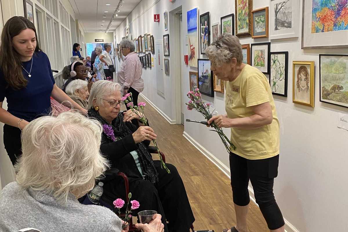
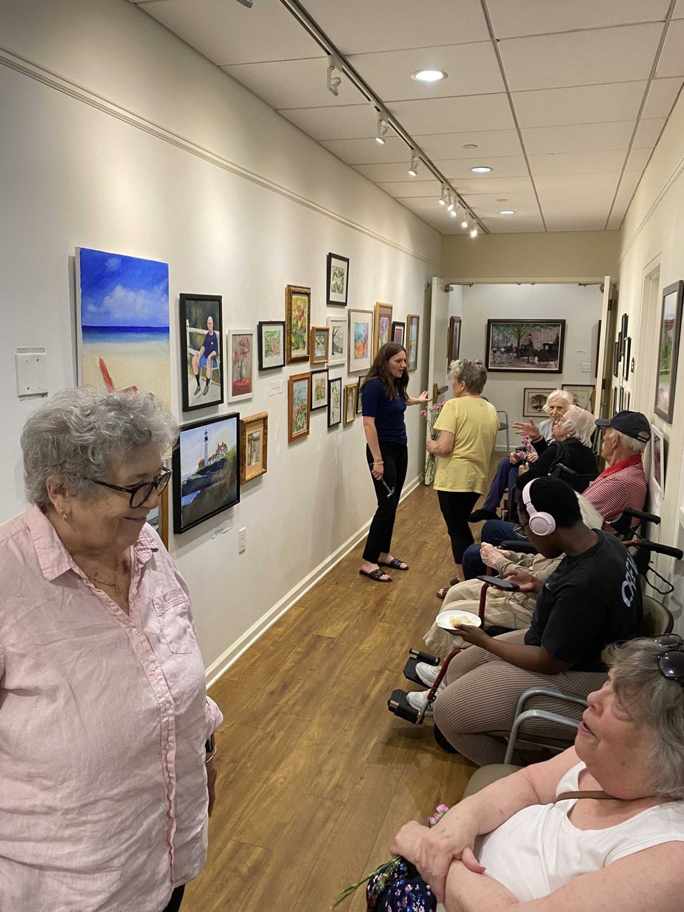 The Fountains houses a significant presence of talent, including in the visual arts. The Summer Art Show that opened on Thursday, June 11, features the works of several residents, accomplished in interpreting the world around them. The opening was well-attended by residents and friends.Photo By Leila Hawken
Want more of our stories on Google? Click here to make us a Preferred Source.